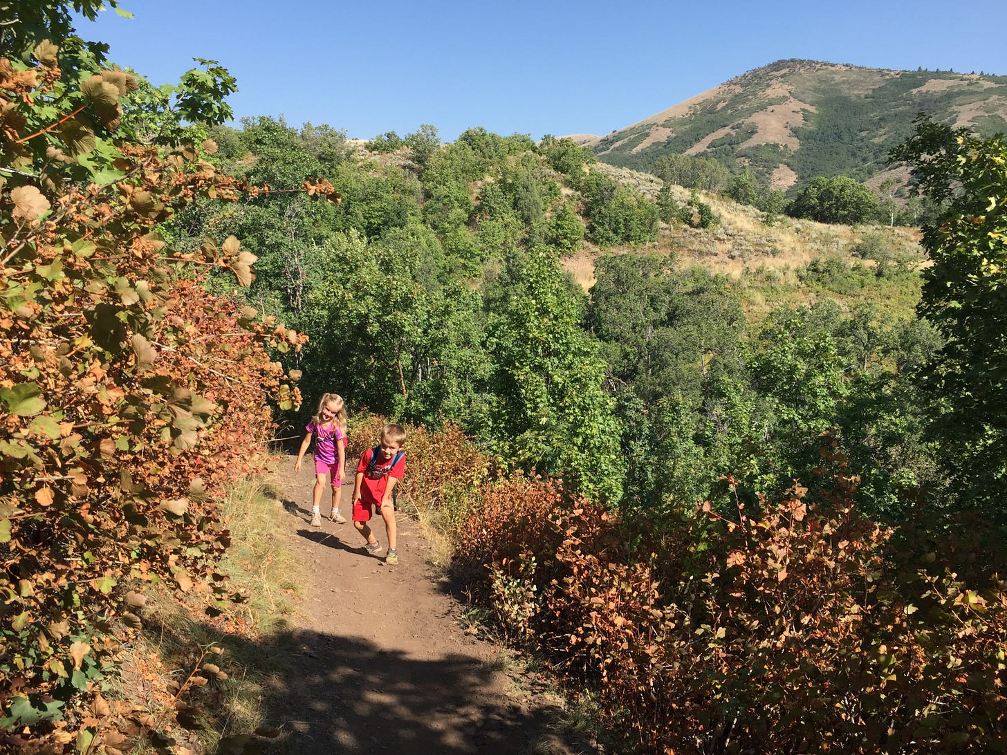
Welcome to the trail!
For some reason, when summer starts to dry up and the color palette goes from green to orangy-brown, I always think of the Mule Shoe Trail in North Fork Park. It’s usually dusty when we hike it, and the flowers are long gone, but the dry leaves along the sides of the trail make me so excited for fall! Late summer hiking really is early fall hiking, after all. And this is a great trail to get a taste of the glories to come! (Or, you could always wait a month or two and hike it when the leaves are red and gold and yellow and brown - it would be lovely then, too!)
How to get there
From Valley Market in Eden, drive northwest on Highway 162 for about 2.5 miles where you merge onto 3500 E and continue about a half mile to the three-way stop near Liberty Park. Turn left on 4100 N then right on 3300 E and continue driving north for about 1.5 miles until you take a slight left onto North Fork Road. You’ll stay on North Fork Road for 2.7 miles, driving past both the South and Middle Gates, and turning left on North Gate Road (the sign calls it Cutler Flats Gate). In about a half mile you’ll get to a T intersection; turn left and follow the road around for another 0.4 miles till you see a large trailhead sign on your right. Just past the sign on your left is an entrance to a large U-shaped parking area. Park here. A couple of covered picnic tables are situated around the edge of the lot. No restrooms are available here.
Mule Shoe Trail is a 2 mile horse-shoe shaped trail that connects to Mule Ear Trail to form a large loop around the middle of North Fork Park, but the portion that we’re going to hike today starts at the north end of the parking area, near the picnic table closest to the entrance into the lot.
Trail at a glance
Distance: 0.5 miles one way (1 mile round trip out and back) (you can continue on further as far as you want, but I’ll describe our typical turn around spot below)
Elevation gain: ~115 feet
Destination: a shady clump of maple trees at the top of a climb with some views of the park and valley yonder
Tyke perks: downhill start, thimbleberries, ferns, dirt(!), witch’s broom
Notable flora: maple, fir, thimbleberry, western coneflower, fern, aspen, burdock, sagebrush, Oregon grape
Fascinating fauna: songbirds, chipmunks, deer (we saw a lot of prints, but no animals)
Watch out for: bikers, horse droppings, bears and mountain lions (they’re rare, but possible!)
While you’re hiking
Make your way from your car to the far north end of the parking lot, toward the covered picnic table there. The trail starts in the bushes and quickly heads downhill, switchbacking through the trees. In about a tenth of a mile, look up into the fir trees on the right side of the trail and see if you can spot the witches’ broom.
At roughly mile 0.2 you’ll come across the large leaves of the thimbleberry plants. If you’re lucky, you’ll find a ripe berry or two, but by now they are usually dried out or picked over. In another couple hundred feet you’ll be in the more lush-feeling fern section.
By mile 0.3 you’ll probably hear the road close by, though you may not see it yet. Keep walking another tenth of a mile and you’ll notice a small shortcut that goes to the road. Stay on the main trail as it starts climbing. Soon you’ll hit a couple of switchbacks and start to see the view of Liberty and the northern end of North Fork (and the road) open up around you.
Once you hit the half mile point, you should be entering back into a shady maple tree grove. We usually stop here to rest for a minute and then head back down and then up to the car.
This Mule Shoe portion is quick and easy and a great little escape into nature. Happy trails!


