Welcome to the trail!
Don’t let the name scare you off (although it is rather terrifying as a parent of a tyke hiker!), but do be aware that this is sort of my “Tyke Hike Graduation Hike”. If you’ve hiked all the other trails in the valley and are ready to level up, this one might be the hike for you and your tykes. It’s the longest one I’ve ever shared, with plenty of climbing going both directions. In the past we’ve hiked it with our tiny tykes in packs (or on shoulders), but this year our 8- and nearly-6-year-olds handled the whole trail on their own legs! So it’s definitely doable for kids, but plan on carrying smaller ones at least part of the way.
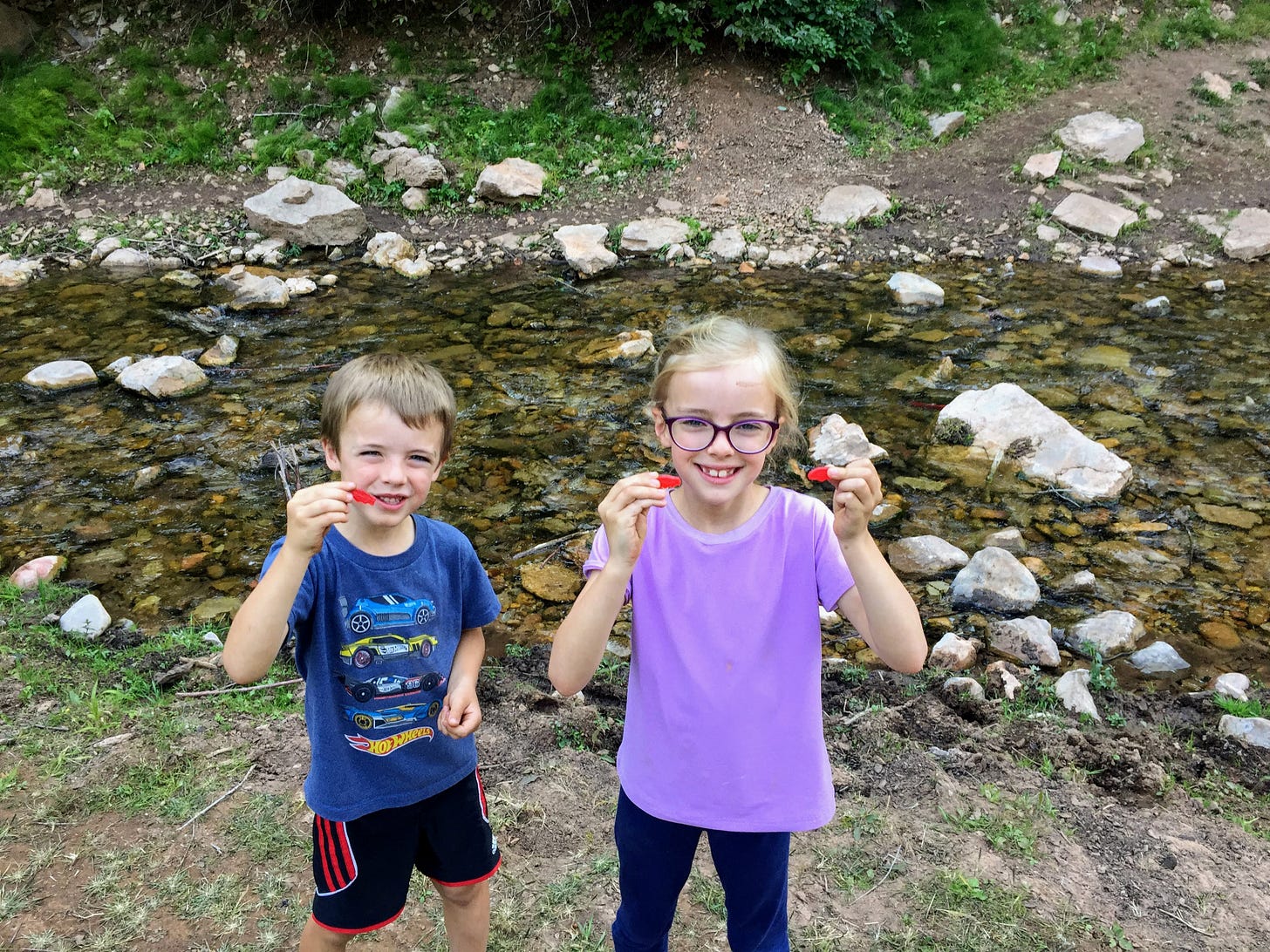
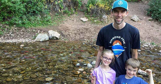
And, if you hike it in September, the red Kokanee salmon working their way up the stream to spawn are a huge draw for hikers of any ages! It’s a must do hike in the valley, for sure.
How to get there
From Valley Market in Eden, head southeast on the highway heading toward Huntsville. Follow the road for about 6 miles as it curves through Eden, around the reservoir, and into Huntsville. Turn left on Highway 39 toward Monte Cristo and follow the highway till you see signs for Causey Reservoir in about 8 1/2 miles. Turn right at the log cabin cafe (the name changes fairly often, so I’ll just be generic, but you can’t miss it) and drive 1.7 miles till you see a dirt road that crosses the dam. Follow this road about a mile till you reach the parking lot at the trailhead. The lot holds about 20 cars, and there is a pit toilet restroom available.
Trail at a glance
Total distance: 2.5 miles one way (5 miles round trip) (the sign at the trailhead says 2.3, but it is longer than that every time I’ve tracked it)
Elevation gain: 830 feet
Destination: stream that feeds the reservoir with bright red spawning salmon (peak time to see the fish is typically mid-September)
Tyke perks: red salmon (!!!), rocky cliffs, reservoir and mountain views, changing leaves, green water, dust prints on the trail
Notable flora: sagebrush, a cute purple daisy-ish flower, asters, goldeneye (?), thistle, paintbrush, fir, maple, mahogany, aspen, mules ear (extra crispy this time of year), lupine, cactus
Fascinating fauna: ducks, songbirds, vultures, butterflies, grasshoppers, flies, wasps, salmon
Watch out for:
long, steep slopes off side of trail while walking on the edge of the reservoir
occasional narrow, washed out sections of trail in those steep drop parts
little to no cell service at times
sunny sections (sunscreen is a must if you’re hiking during the day)
While you’re hiking
Start at the sign at the north end of the lot. The trail is level here as it follows the edge of Causey Reservoir. In about 0.4 miles, the pitch increases a bit as you start to climb up over the ridge. At roughly mile 0.5 the trail turns to the right and you enter the fir forest (ah, shade!). Keep hiking and climbing until you reach mile 0.85, where the trees and bushes open up to your left to reveal an amazing view of Causey and beyond. This is roughly the high point in the hike, with some downs and ups but averaging out to level or slightly downhill for the next mile or so.
At the 1 1/2 mile mark you’ll be able to spy the left fork down below. Salmon go up that stream to spawn in the fall, too, but you can only access that spot via watercraft. Our destination is in the right fork that you can’t quite see from here yet. From here you’ll pass through a large, sloping sagebrush field.
The descent picks up at 1.75 miles in, and at the 2 mile mark you’ll be turning your last switchback of the hike. In another quarter of a mile you’ll be able to see the stream in the right fork and hear the water flowing down below you to the left. If you have really good spotters, you may even see some red fish from here!
At mile 2.4 you’ll come to a small fork. Either trail will take you down to the stream, where you’ll feel some welcome coolness if it’s been a hot day as you sit beside the stream and watch the fish fight their way against the current.
(If your tykes are anything like mine, they’ll have lots of questions about why the salmon are red, and why they are swimming upstream, and how do they know where to go to lay their eggs? I found this explanation of the Kokanee salmon life cycle to be helpful in answering some of those questions.)
Feel free to follow the stream up or down from here to spot even more red fish, but don’t throw rocks or try to catch them or disturb them in any way during this time. When you’re ready to head back to the car, just follow the trail back the way you came.
Happy hikers

Thanks for being here with me at Tyke Hikes these past couple of summers. I haven’t exhausted every tyke-appropriate hike in the valley just yet, but I am thiiiiis close, so if you know of one that I haven’t shared yet, please clue me in below in the comments or by replying to this email. Learning about new trails is one of my favorite surprises ever! I’ll be signing off for the season now, but stay tuned . . . we’ll just have see what next summer brings! Till then, happy trails!


