Welcome to the trail!
We recently hiked a small portion of the Pioneer Trail on Pioneer Day and found it rather fitting to be walking on the same trail that the first permanent settlers to the valley did. If you happen to like a little history mixed in with your hiking, this may be the perfect trail for you!
How to get there
From Valley Market in Eden, head northwest on Highway 162 for about a mile and a half. Take the slight left onto 3300 North and continue for a half mile till you reach 3500 East/Nordic Valley Way. Turn right and then immediately left onto 3350 North. In about 3/4 mile turn left onto 2900 East. Follow the road about a tenth of a mile till you see a wide mowed area off the side of the road on your right. This is the trailhead. It is only large enough for a couple of cars to park and there are no restrooms available.
Trail at a glance
Distance: 0.6 miles one way to overlook (1.25 miles out and back)
Elevation gain: ~ 250 feet
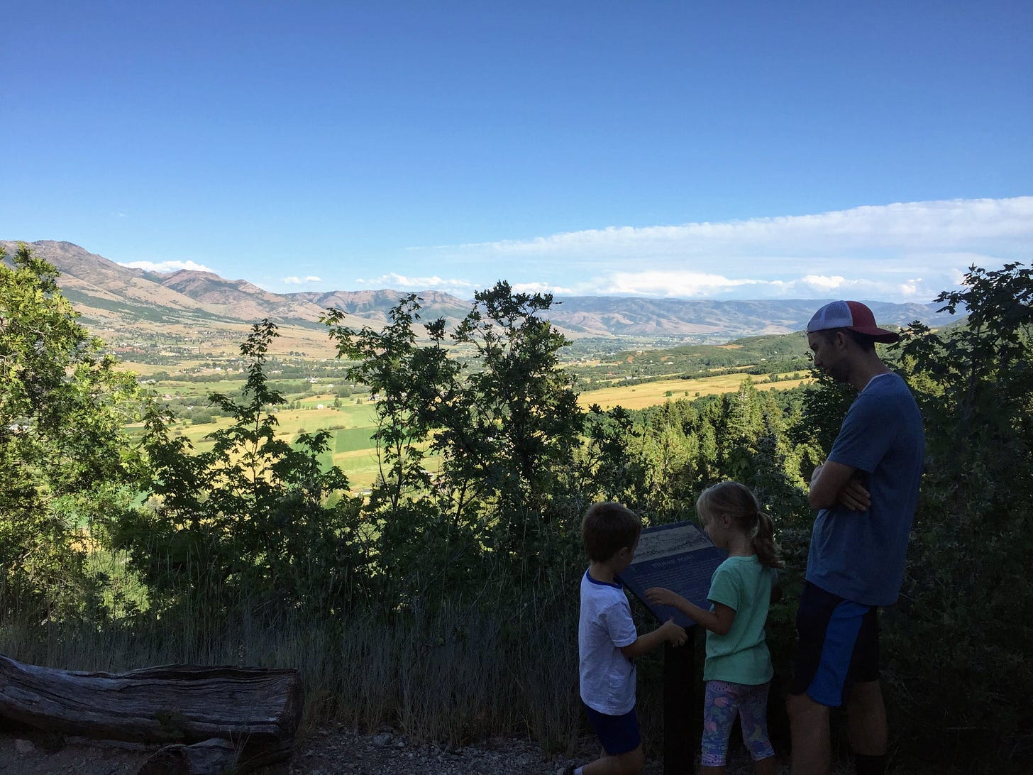
Destination: Stoney Point overlook with views of valley and information sign
Tyke perks: shade, snail shells, thimbleberries, view of valley, informational sign, quiet, bench, rocky hillside
Notable flora: burdock, fern, maple, thimbleberry (we found some ripe ones!), aster, daisy, aspen, salsify, geranium, oak, mountain ash, fireweed, myrtle spurge (see note below!), milkweed, fir, scarlet gilia, paintbrush, curly dock, hoary cress
Fascinating fauna: bugs, birds, (we didn’t see any big wild animals on our hike, but I’d keep an eye out for deer, moose, mountain lions, bears, etc.)
Watch out for:
dogs (the only reason I hesitated in sharing this trail was because of two old, loud dogs who live just below the trail about a quarter mile into your hike. They are slow and their bark appears to be worse than their bite, but they seem to think they own the trail and will let you know as you try to pass. If you have any hesitancy about strange dogs (as we are, after a dog bite incident a couple of years ago), you may want to skip this one. Or, you can do like we did and walk quietly and quickly once you reach the sign posted about no motor vehicles being allowed till you pass the homes.)
spurge (at the 0.4ish mile mark you’ll come to a section of private land (you’ll it know because of the sign) and a hillside covered in myrtle spurge. Don’t touch this plant! The sap is a milky color and is toxic to humans, causing severe skin and eye irritation if you come in contact with it. And definitely don’t eat it, as it can lead to nausea, vomiting and diarrhea. Yikes!)
horse droppings
mountain lions, bears
While you’re hiking
Start hiking through the tall weeds next to the parking area. The trail may appear quite overgrown from the road, but it is well traveled and easy to follow. Even though you’re not far from homes and town, this trail feels quite remote. We rarely see any other hikers or joggers, which makes it feel like a special surprise. (Look for thimbleberries along the sides of the trail as you hike. These are edible and kind of fun to taste if you find a bright red ripe one as you’re walking.)
Watch for the sign prohibiting motor vehicles in the first quarter mile of the hike. Just beyond the sign is where the dogs live, and if they hear you, they will bark. If you’re sneaky, you can probably get by without them even knowing.
At mile 0.4(ish) you’ll be surrounded by myrtle spurge, mostly on the uphill slope to your left, but it crosses to the right of the trail, too. (Remember, don’t touch or taste this one!)
Just about 0.2 miles further and you’ll reach the wide spot in the trail that is the overlook. Take a minute to read the sign about the many trails that were used by trappers, Indians, mountain men and pioneers as they entered and left the valley before you.
That’s it! You can head back to your car the way you came.
Or! If you want to a double your distance and nearly triple your elevation gain, you can continue on another 0.7 miles to the top of the North Ogden Divide. You’ll end up at the Ben Lomond Trailhead parking area. Another option, and a good way to avoid the dog and spurge situation, is to start at the top and walk down (east) to the overlook. As always, you can fit the trail to your needs and wants! Happy trails!


