Welcome to the trail!
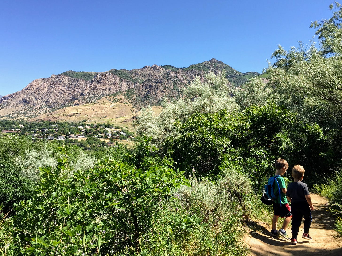
Here’s another tyke-fave hike for you! The Birdsong Trail at the mouth of Ogden Canyon is well known and oft-hiked and right on the edge of town with great views of the valley, yet somehow seems remote and exotic at the same time. There are lush, green sections, and dry, desert-y sections (and don’t forget the singing birds that the trail is named after!) all within about a mile and a half round trip. Don’t miss this one!
How to get there
The parking lot for the trailhead is located here, in the southwest corner of the Rainbow Gardens parking lot at the mouth of Ogden Canyon on 12th Street. There is plenty of parking here, but no restrooms are available (maybe in a pinch you could find some inside the store/restaurant, but I have never needed to check that option out).
Trail at a glance
Total distance: ~0.9 miles one way (~1.7 miles round trip)
Elevation gain: ~200 feet
Destination: picnic table with view of Ben Lomond (an optional shorter stop point is a shady grove of trees with a small stream “waterfall” and bench at about a half mile in)
Tyke perks: bugs, views of golf course and beyond, acorns, shade, climbable logs, water, mud hill, bench, stick hut, picnic table
Notable flora: cactus, sagebrush, salsify, arrowleaf balsamroot, yellow sweet clover, milkweed, burdock, dyer’s woad, thistle, alfalfa, shady trees (cherry, Russian olive, maple, oak)
Fascinating fauna: bugs galore! (ants, butterflies, dragonflies, slugs, beetles, box elder bugs, grasshoppers), birds (singing, of course)
Watch out for:
bikes (most will be on the nearby Bonneville Shoreline Trail, but you’ll still meet a few, usually beginners, on Birdsong)
wind (the canyon wind is strong and can be quite cool in the mornings, so you may want a jacket for the first half)
sun (a lot of the trail is shaded, but there are also sunny sections that you’ll want to be prepared for)
narrow drop off section (the trail isn’t steep, but the hillside next to it is - it’s nothing that can’t be handled by holding hands of little ones as you walk by, but just wanted to give you a heads up)
snakes (again, I’ve never seen a rattler while hiking here, but I have heard reports and it’s the type of terrain that they frequent, so keep an eye and an ear out!)
While you’re hiking
Start your hike by walking under the big sign that says “Rainbow Trail” near the southwest corner of the parking lot. Walk toward the big trailhead sign covered with posters and notices and then turn left. Follow the trail a few feet (you’re only 0.03 miles from where you started at this point) till you see a fork; take the right path, following the sign for the Birdsong Trail.
The first tenth of a mile takes you through the “bird song” section; listen for a variety of chirps and calls and songs as you hike through this shady stretch. Soon you’ll follow the trail to the right as you start climbing up an exposed stretch of about 0.1 mile. (This is the part I mentioned above to watch out for - it’s narrow and can seem a little sketchy, but just take it slow and hold your tyke’s hand and you’ll be just fine! Can you see your car parked in the lot down below?)
When you get to the top, make sure to follow the real trail as it switchbacks a few feet higher instead of one of the many shortcut trails crisscrossing the area. You’ll see a sign at about mile 0.3 that points right to the overlook trail or left/straight for the Birdsong trail. Either trail will get you to the same spot, but I highly recommend taking the overlook route. (It only adds 0.1 mile to your walk and is where we saw lots of cacti which was kind of fun.) You’ll have great views of the Ogden area (see if you can spy the water tower in the distance or golfers at the El Monte Golf course below) as you walk this stretch.
In 0.1 mile you’ll meet another sign where the trail splits to go left (this is the trail back) or straight ahead to continue on the Birdsong Trail.
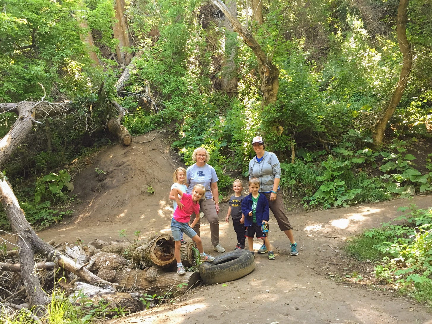
Now you’re back in the shade and walking through scrub oak trees (this section is especially pretty in the fall!). At roughly the half mile point in your hike you’ll enter into a magical (really! it’s so pretty and unexpected!) grove of big trees and lush undergrowth. There’s a small stream (maybe a spring?) that starts on the hillside to your left and flows under the trail. There’s a bench to rest on. There is a new (to us) stick hut erected nearby. There are trees and hills to climb and scramble on. (There are a couple of old tires randomly laying about?) It’s the perfect spot for a rest or a destination!
If you decide to keep hiking to the picnic table finish line, continue following the trail through the trees for another 0.1 mile. Soon you’ll come to a sagebrush meadow that was just buzzing with dragonflies and swallowtail butterflies last time we hiked it. Walk about 0.1 mile through this area, then follow the trail as it turns up and left near the fence surrounding a church parking lot. You’re on the last little (less than 0.1 mile) climb to the top where you’ll find a shaded picnic table, trailhead signs, and a dog dish you can fill with water for your pup, plus pretty views of the valley below.
When you’re ready to head back, just follow the trail back down the hill, through the sagebrush, into the trees and back out onto the desert-y plateau with the overlook detour. You can turn right at the sign pointing to the Birdsong Trail if you want to skip the overlook section this time. Be careful on the downhill and don’t forget to listen for the birds on your walk back through the trees at the bottom.
I hope you love this one as much as we do! Let me know in the comments or just hit reply to the email. And don’t forget, if you have any pics you want to share of you and your tykes, I’ll feature you in my next happy hikers section! Happy trails!


I think we mapped this as part of mapping training once upon a time. It sounds very familiar. I’ll have to hike it again with Grace (and without the weed mapping equipment).