Welcome to the trail!
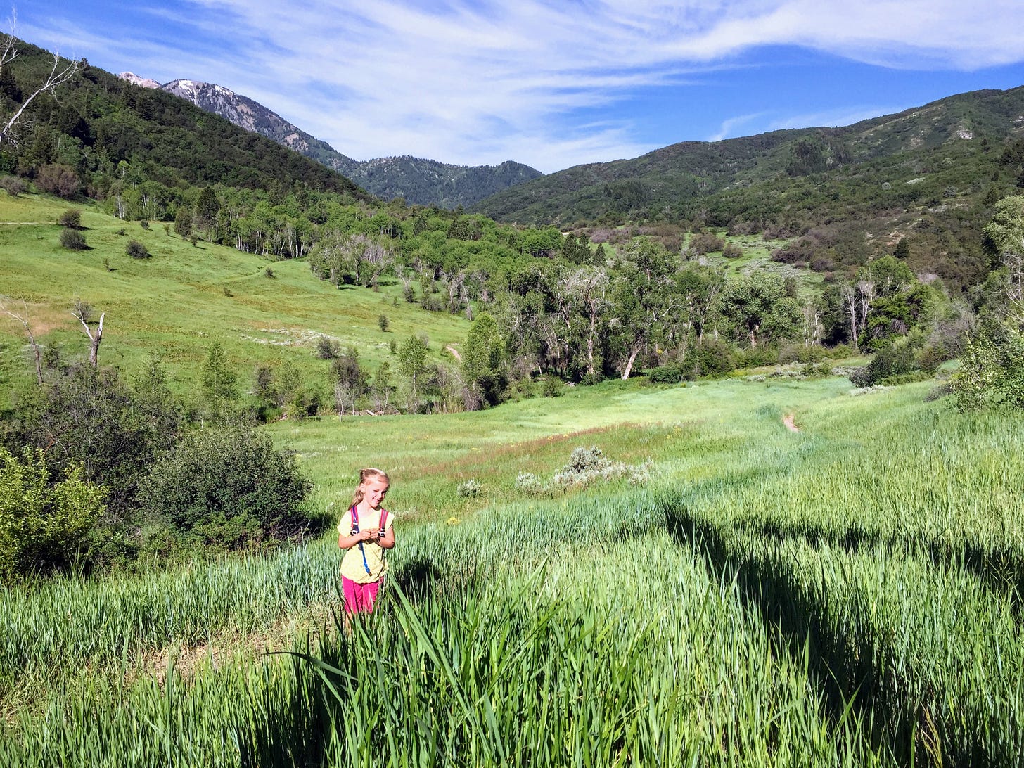
We absolutely love the Art Nord Trailhead, nestled below Snowbasin Resort, all year round. It’s the perfect place to explore in any direction and in any season, with gorgeous landscapes wherever you turn. Today I’m sharing a short little loop with a big payoff in views that is perfect for the small to medium hikers in your life. (But stay tuned for a future post where I’ll feature a longer loop we love in the area, too! So many possibilities!) Let’s hike!
How to get there
From Valley Market in Eden, head south on Highway 158 toward Ogden Canyon. After you cross the dam, turn left onto Highway 39. Drive for 2.8 miles, then turn right on Old Snowbasin Road. Follow the road about 4 miles till it ends at a gate and a parking lot. (If you’re coming from Huntsville, it’s quicker to head south then west on Highway 39 until you come to Old Snowbasin Road, about a mile past the turn for Trapper’s Loop, then turn left and follow it up to the trailhead.) Two vault toilets are available in the large dirt parking area.
Trail at a glance
Total distance: 1.3 miles round trip (loop)
Elevation gain: ~160 feet
Destination: bench near a tree with spectacular Snowbasin view
Tyke perks: bridge, streambed (there is a stream from spring runoff early in the season, but by midsummer it is usually dry) some shade, bench, rocks, dried animal prints in trail (horse shoe, moose), view
Notable flora: sagebrush, salsify (they are the flowers that look like giant dandelion fluff balls right now), dyer’s woad (they won’t be in bloom now, but you can recognize their black seeds), curly dock, geranium, yellow sweet clover, lupine, mules ear (not currently blooming, and the leaves are starting to turn yellow), aspen, aster, oak, sunflowers, milkweed
Fascinating fauna: birds, butterflies, bees, grasshoppers, dragonflies, moose (if you’re lucky!)
Watch out for: sun, bikes (you’ll probably see both mountain bikes on the trail section and road bikes on the road section), evening photo shoots (it’s a crazy popular place for family/bridal/graduation photos at golden hour)
While you’re hiking
Start by walking toward the north end of the parking lot toward the big trailhead sign. A small wooden sign points right toward Wheeler Canyon Trailhead and left for the Wheeler Creek Trail. Take this left trail down and west toward the trees in the bottom of the little gully. About a tenth of a mile from the top is a bridge over the now-dry stream.
After you cross the bridge you’ll start climbing and switchbacking gradually up the hill. At about the quarter mile point you’ll be able to look right and see Wheeler Canyon. At roughly mile 0.4 the trail turns and the parking area becomes visible (I spy the outhouses!).
Keep hiking up through the shady oak sections and at about mile 0.7 you’ll notice the trail is at its closest point to the road. Walk another tenth of a mile further, until you see a trail sign with a map. Turn left here toward the bench by the tree situated between the trail and the road. This is our stopping/resting/viewing/turn around point. (While you’re enjoying the view of Snowbasin, see if you can spot the radio towers at the tippy top of Mount Ogden, right in front of you!)
When you’re ready to finish the loop, head back to the parking area on the closed-to-motorists Old Snowbasin Road. It’s a gradual, easy half mile decline on a wide path all the way to your car. (Watch out for cyclists - there’s plenty of room for everyone, so it isn’t stressful, but just be aware.) You did it!
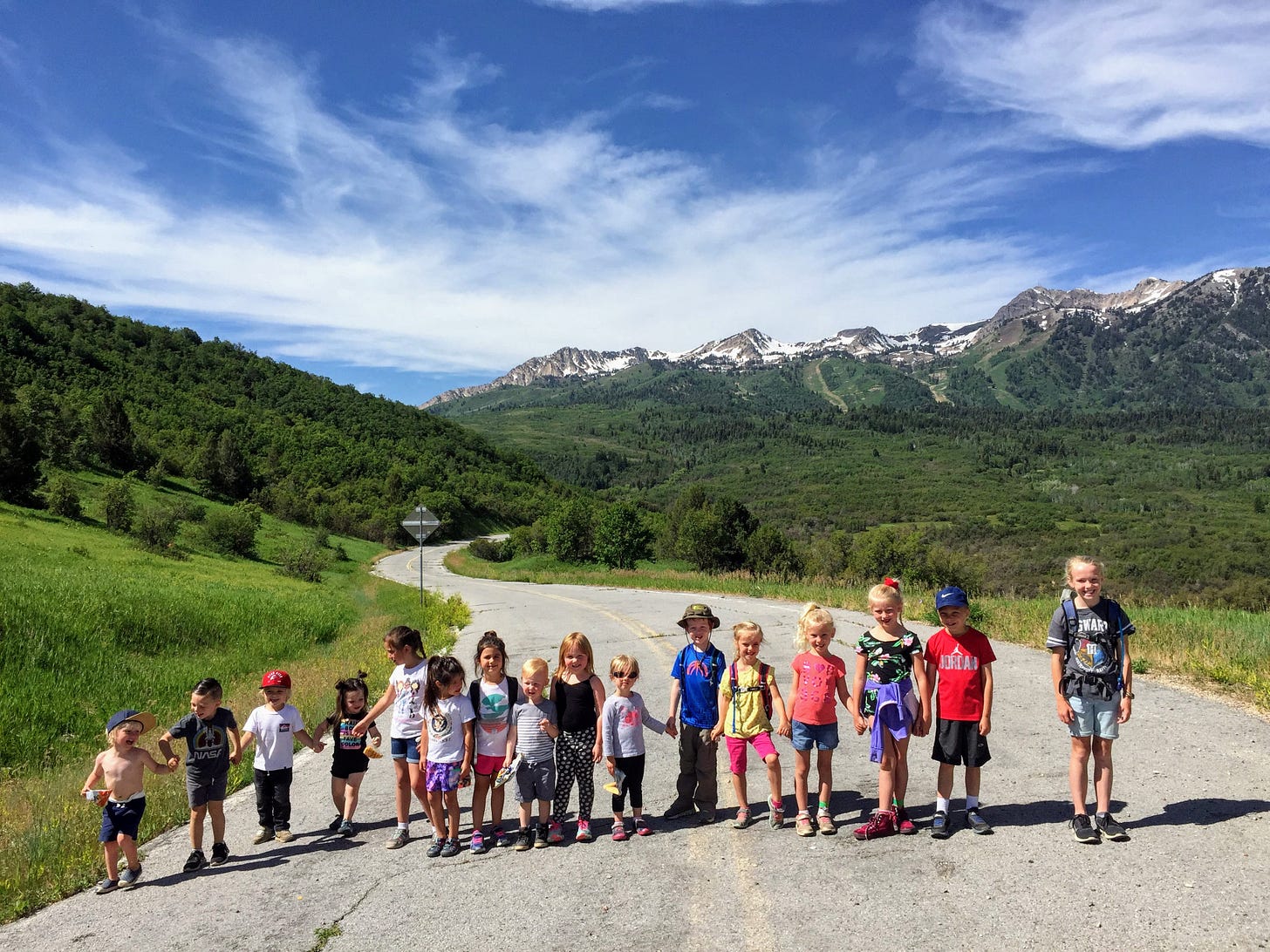
Happy hikers

How’s this for a fun flashback to those pre-covid tyke hikes of yesteryear? I hope you’re all taking advantage of the mountain therapy hiking can provide these days. Tell me about your favorite time on the trail from this summer in the comments or by hitting reply to this email. And thank you for sharing the hiking love with your friends and family! Happy trails!
